Imagine waking up to sunrise on the red rocks or glassy water that seems to spill into the mountains. If that is your Colorado daydream, Littleton and its foothills-edge neighborhoods deliver real options. You want outdoor access, big-sky views, and a commute that still works for your life. In this guide, you will learn where to find reliable view corridors, how to vet them, and which Littleton-area communities fit a foothills lifestyle. Let’s dive in.
What “foothills living” means here
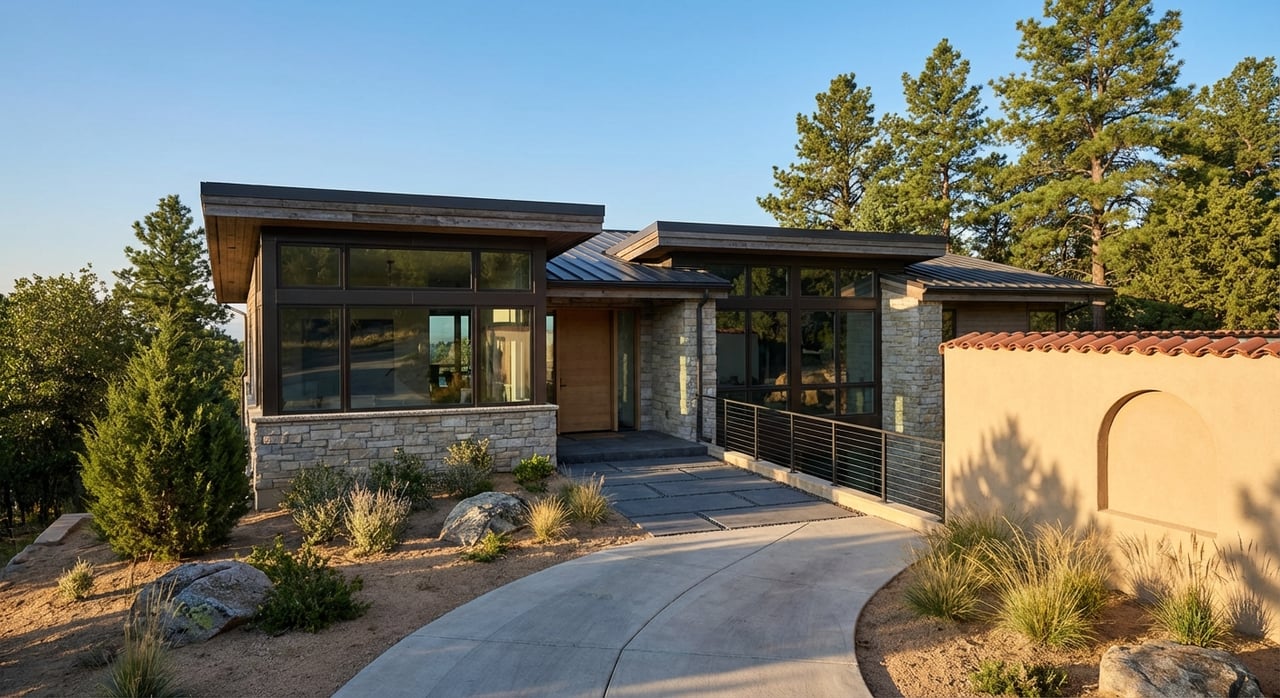
In the southwest Denver metro, “foothills” refers to the Front Range transition zone: the hogback ridge, benches, and open spaces that back right up to town. Homes with the best views usually sit at higher elevations, face west, or back to preserved land. A Littleton mailing address does not always mean the property is inside the City of Littleton, so confirm municipal services and taxes with the city’s Address Wizard before you fall in love with a view. You can check any address with the City of Littleton’s Address Wizard.
Top neighborhoods with views
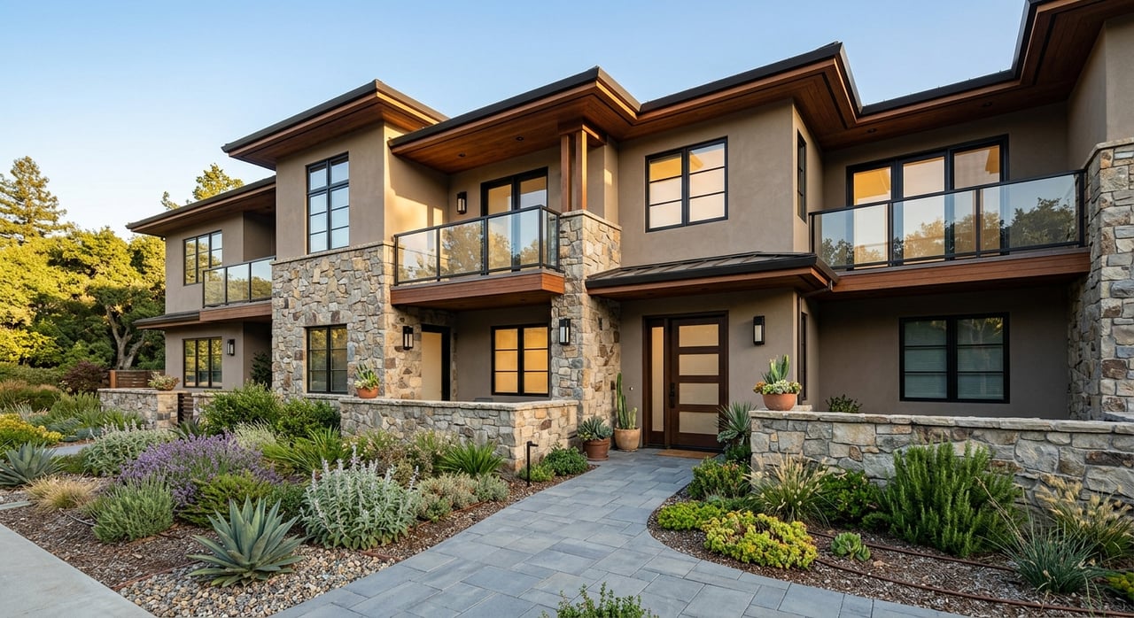
Ken Caryl: Valley and ridge living
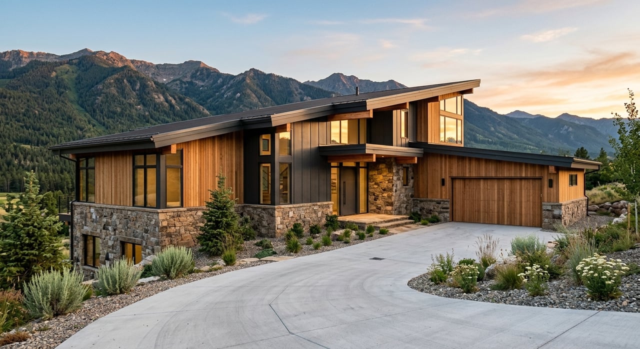
If you want immediate ridge access and a classic foothills look, Ken Caryl’s valley and North Ranch areas are hard to beat. Many homes back to large preserved open space, which creates panoramic west-facing exposures and trail access right out the door in some locations. Portions of nearby routes connect to Hildebrand Ranch and South Valley Park, which means you can be on dirt quickly. Some trails in and around Ken Caryl are private or resident-only, so confirm access for a specific street before you count on a walk-out lifestyle. Driving connectivity is strong via C‑470 and Wadsworth, which keeps most metro destinations within a practical range depending on time of day.
Roxborough Park: Red rock drama
Roxborough Park sits near the dramatic, tilted red-rock formations that make this pocket feel like a private amphitheater. Homes often face natural rock walls and preserved land that frame long westward views. You are moments from the trailheads and overlooks within Roxborough State Park, so sunrise or golden-hour hikes can become part of your daily routine. The area is more secluded and car-dependent, with routes connecting to C‑470 and US‑85 for Denver Tech Center and city access.
TrailMark: City of Littleton, park side
For true City of Littleton living with foothills energy, TrailMark delivers a planned neighborhood that nudges up to Chatfield State Park and Hildebrand Ranch Open Space. Many homes enjoy open-space adjacency and quick trail access, which broadens your daily options for biking, running, and birding. It also benefits from easy proximity to C‑470, Wadsworth, and Kipling. Because city limits weave through this area, verify the exact address with the City Address Wizard to confirm municipal services.
Marston Lake and Grant Ranch: Water plus west views
Water changes everything about a sightline. Around Marston Reservoir and nearby Bowles Reservoir, open water creates view corridors that stretch to the Front Range. On clear days, homes oriented toward the lakes can pick up mountain horizons that feel larger than their elevation would suggest. Trails and parks wrap the area, and you have quick access to the South Platte corridor, Chatfield, and major surface routes.
Leawood and the Clement Park corridor: Greenway access
If you like gentle topography, parks, and paved river access, the Leawood and Clement Park corridor offers a foothills-adjacent feel without pushing deep into the ridge. You gain direct connections to South Suburban parks, Carson Nature Center, and long stretches of the Mary Carter Greenway. West-facing exposures can pick up foothill silhouettes, while daily life stays close to retail and established amenities.
Bow Mar: Small-town lake setting
Bow Mar is a small incorporated town centered on a private lake, with a strong local identity and a quiet, established setting. Larger lots and open sightlines can offer view potential toward the hogback and the Front Range on clear days. Because the town straddles county lines, confirm parcel details for services and taxes.
How to shop for a view lot
A great view is more than what you see at an open house. Use this quick checklist while you browse:
- Confirm municipal vs postal: A Littleton mailing address does not guarantee City of Littleton services. Use the city’s Address Wizard to verify jurisdiction and services.
- Test view permanence: Ask who owns the land across your view. Public open space usually offers more durable protection than privately owned parcels.
- Check trail access and ownership: If “out the back gate” is the dream, confirm whether trails are public parkland or private HOA paths. Access can be limited to residents in some communities.
- Wildfire and insurance: Foothills exposures can increase wildfire interface risk. Review local mitigation plans where available and confirm insurance availability and cost early in the process.
- Zoning, easements, and future plans: Look for recorded conservation or scenic easements. Ask about pending rezonings that could alter a view corridor.
- HOA covenants: Many foothills neighborhoods have landscaping, exterior, and parking rules. These shape lifestyle and can affect resale.
- Schools and services: Because lines cross counties and municipalities, always confirm school district and service providers at the parcel level.
Commute and transit snapshot
You have two rail options for regional access, plus several key highways that define daily life.
- Light rail: Littleton•Downtown and Littleton•Mineral stations serve the area. Under normal schedules, the D Line from Littleton•Downtown runs to central Denver in about 32 minutes. Check current timetables before you plan your commute.
- Highways: C‑470 is the backbone that links southwest suburbs to I‑25 and the Denver Tech Center. Santa Fe Drive and Wadsworth are common north-south routes into the city. Real-world drive times vary by time of day, weather, and live traffic, so plan within a range and test your route.
Outdoor hubs that anchor views
When you care about views, the best sign of long-term stability is preserved open space. These anchors create the most reliable corridors:
- Chatfield State Park: A large reservoir ringed by multi-use trails, water access, and broad mountain vistas. Lake edges often translate to long, protected sightlines.
- Roxborough State Park: Iconic red-rock spires and hogback ridges produce postcard overlooks and richly colored views in every season.
- South Platte Park, Carson Nature Center, and Mary Carter Greenway: A connected river-lake corridor through Littleton with paved paths for running, cycling, and family rides. It is a go-to for everyday outdoor time.
Your next step
If foothills living in Littleton is on your radar, you deserve advice that blends luxury home expertise with an eye for open-space value. From verifying address and view permanence to sourcing off-market options near red rocks or water, you will move faster with a local advisor who understands both lifestyle and investment. For a private, tailored plan that fits your goals, connect with Ashley Behrens. Request a Private Consultation.
FAQs
What is the difference between a Littleton mailing address and City of Littleton services?
- A Littleton postal city does not guarantee you are inside municipal limits. Use the City Address Wizard to confirm jurisdiction, taxes, and services for any property you are considering.
How can I tell if a mountain view is likely to last?
- Ask who owns the land that frames your view. Public open space and state or county parks tend to protect sightlines longer than privately held parcels. Look for recorded conservation or scenic easements when possible.
Which Littleton-area neighborhoods have the quickest trail access?
- Ken Caryl, TrailMark, and Roxborough-adjacent pockets often have immediate access to public trails or open space. Some trails are private or resident-only in Ken Caryl and similar communities, so always confirm access for your specific address.
How long does it take to reach downtown Denver from Littleton?
- The D Line from Littleton•Downtown runs about 32 minutes to central Denver under normal schedules. By car, plan for a range based on your route and time of day, typically using C‑470, Santa Fe Drive, or Wadsworth.
Where can I find everyday outdoor options with reliable views?
- Chatfield State Park, Roxborough State Park, and the South Platte Park and Mary Carter Greenway corridor are standouts for protected scenery, paved or dirt paths, and consistent mountain or red-rock vistas.